




Nokia Adds Real-Time Traffic to Esri Mapping Software
HERE, a Nokia business, announced that it is bringing its real-time traffic information to Esri, a market leader in Geographic Information System (GIS) mapping software used by enterprise and government fleet management companies around the world.
HERE, a Nokia business, announced that it is bringing its real-time traffic information to Esri, a market leader in Geographic Information System (GIS) mapping software used by enterprise and government fleet management companies around the world.
With HERE Traffic, Esri will enhance its web and cloud location platform with more precise location data for intelligent routing. Fleet operators will be able to better manage problems as they occur in real time, re-routing fleets when traffic unexpectedly hits, and providing alerts when pickup or delivery delays occur.
With congestion in the top 100 highway bottlenecks getting worse, real time traffic information helps fleets avoid traffic hotspots so that they get can get to their destinations faster and more safely.*
"For 10 years, Esri and HERE have had the shared goal of enhancing safety and increasing the efficiency of fleet operations by offering the most accurate transportation information on more roads than any other provider across the world," said Chris Cappelli, Director of Sales at Esri. "Launching real-time traffic from HERE on Esri's platform for our ArcGIS Online and ArcGIS for Transportation Analytics software products will offer a deeper level of logistic and analytic capabilities for enterprise and government fleet companies."
Real-time traffic is one of the services that HERE delivers based on the data it gathers from a wealth of sources, including the world's largest compilation of both commercial and consumer probe data, the world's largest fixed proprietary sensor network, event-based data collected from government and commercial sources, and billions of historical traffic records.
"Dependable real-time traffic information is crucial to improving fleet operations strategy today and for the long-term," said Roy Kolstad, Vice President for Mobile, Web and Enterprise in North America at HERE. "Our traffic offering will complement HERE map content, which Esri has been using for a decade. Through this combination of traffic and map content, Esri will be able to provide a richer location-based analytics offering that will help businesses make more informed decisions."
The freshness of that data enables HERE Traffic to provide a more accurate picture of traffic conditions. HERE currently processes 20 billion real-time GPS probe points a month, with almost half of all the data less than 1 minute old and more than three-quarters less than 5 minutes old.
"Traffic data is the single most important telematics application," said Roger C. Lanctot, Associate Director in the Global Automotive Practice for Strategy Analytics. "Whether for fleets or consumers, traffic data is essential to determining the fastest or most efficient route and HERE's expanding relationships on the enterprise side are significant. Traffic information is core to maximizing uptime and essential for alternative fuel vehicles such as EVs."
ArcGIS Online and ArcGIS for Transport Analytics are two GIS products supported by Esri's platform. The ease of accessing this powerful content will allow ArcGIS users to quickly embed traffic-aware routing into any application.
*U.S. Department of Transportation, Office of Public Affairs FHWA 2011: http://www.fhwa.dot.gov/pressroom/fhwa1151.cfm
Originally posted on Automotive Fleet
More Technology & AI
Fleet Downtime, Truck Theft, and Electric Growth Lead This Month
Where is your fleet losing time? This Truck Chat recap connects repair delays, theft risks, storm planning, and lessons from scaling electric trucks.
Read More →
HCSS Partners with Verizon Connect to Deliver Fleet Intelligence for Construction Fleets
HCSS has integrated with Verizon Connect to provide near real-time fleet insights so contractors can spend less time tracking assets and more time keeping projects on schedule.
Read More →
How Fleets Can Use Technology to Fight Fuel Fraud
Fuel fraud and theft remain significant challenges for commercial fleets, whether the problem involves third-party fraud or driver misuse. In this video, David Abraham of WEX explains how SecureFuel uses vehicle geolocation, telematics, transaction information, and AI to help fleet managers identify suspicious fuel purchases and make more informed decisions.
Read More →From Our Partners
Basic Tracking vs Next Generation Fleet Technology
Sponsored by AT&T Business

5 Facts Every Fleet Manager Should Know About Embedded Telematics
Sponsored by Stellantis/Mobilisights
How AI Video Telematics Boosts Driver Safety and Helps to Avoid Unnecessary Costs
Sponsored by Verizon Connect

Charting the 8 Bottom-Line Benefits of Workforce Optimization
Sponsored by Verizon Connect


Can AI Agents Help Small Work Truck Fleets Do More With Less?
Motive's new AI Agents automate fleet safety, maintenance, compliance, and dispatch tasks. Here's how they work for smaller fleets, what managers control, and what early users are seeing.
Read More →
Paccar Launches Paccar Connect for Peterbilt and Kenworth Trucks
The new Paccar Connect offers touchscreen displays, telematics capabilities, and an expanding app ecosystem to boost productivity and streamline driver workflows.
Read More →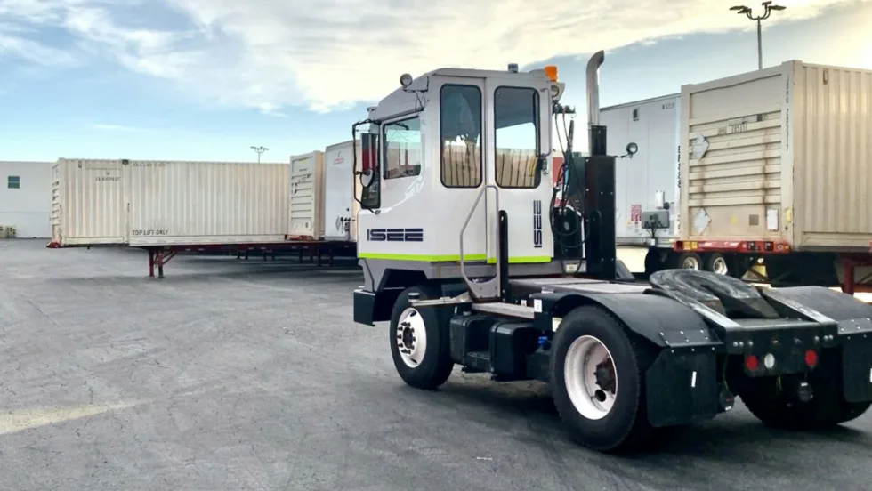
Holman and ISEE Partner to Expand Autonomous Yard Truck Operations
The partnership combines Holman's fleet management and upfitting capabilities with ISEE's autonomous driving technology to help businesses deploy and manage driverless yard trucks.
Read More →
Who You Gonna Call? Rivian Turns Electric Vehicles Into Ghostbusters Rides
Rivian teams up with Sony Pictures for a Ghostbusters-inspired Halloween software update, complete with custom sounds, lighting effects, and a special Ecto-R1.
Read More →
The Second Trip and What Missing Tools Really Cost a Service Business
For service fleets, missing tools and equipment can lead to second trips, lost technician time, higher operating costs, and delayed jobs. Equipment tracking can help HVAC, plumbing, electrical, landscaping, and other service businesses improve visibility and reduce downtime.
Read More →
GeoFencing Adds to Your Truck Security Arsenal
Geofencing is a familiar fleet tool today, but its early adoption marked a major shift in vehicle tracking, route monitoring, and the debate over employee privacy.
Read More →
Geotab Data Shows Regional Trucking Growing Faster as Last Mile Routes Get Denser
Geotab's first U.S. supply chain report finds stable long-haul activity, stronger regional freight movement, tighter hub-and-spoke utilization, and more last-mile trips on shorter routes.
Read More →