
Watch: Sawatch Labs Guides Fleets Through the Transition to Electrification
CALSTART Adds 64 New Sites and Features to Its Medium- and Heavy-Duty Zero-Emission Infrastructure Map
CALSTART’s interactive National Medium- and Heavy-Duty Zero-Emission Infrastructure Map now locates approximately 1,500 ports at 162 total public, semi-public, and shared electric vehicle (EV) charging and hydrogen refueling facilities for Class 2b-8 trucks.
from News/Media Release
May 5, 2026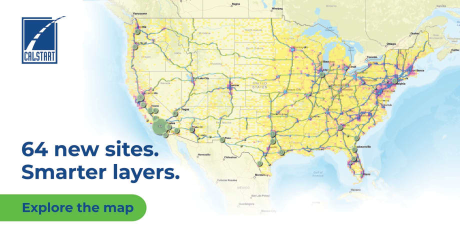
CALSTART has added more charging and hydrogen fueling locations to its National Medium- and Heavy-Duty Zero-Emission Infrastructure Map.
Credit:
CALSTART
3 min to read
- CALSTART has expanded its National Medium- and Heavy-Duty Zero-Emission Infrastructure Map with 64 new sites and features.
- The map now identifies approximately 1,500 ports across 162 public, semi-public, and shared charging and refueling facilities.
- Facilities cater to Class 2b-8 trucks, enhancing support for medium- and heavy-duty zero-emission vehicles.
*Summarized by AI
CALSTART, a leading clean transportation nonprofit, has updated its National Medium- and Heavy-Duty Zero-Emission Infrastructure Map, which now lists approximately 162 total infrastructure facilities in 17 states for medium- and heavy-duty trucks.
These additions are consistent with trends noted in CALSTART’s latest Zeroing in on Zero-Emission Trucks report, co-written by Trucks Project Manager Jacob Richard.
Enhancements to the map include:
- The addition of 64 new EV charging and hydrogen refueling sites.
- A new phasing-in strategy overlay showing how current charging availability compares with the broader network buildout projected in CALSTART’s Phasing in U.S. Charging Infrastructure Strategy. This is also consistent with the American Council for an Energy-Efficient Economy’s recent Pathways to Zero-Emission Freight report.
- Grid-capacity scenario layers showing projected peak load in 2026, 2030, and 2035, with managed and unmanaged charging scenarios that highlight where charging demand may place greater pressure on the grid and where additional planning or investment may be needed.
"This isn’t just a map of available ports; it’s a map of progress towards publicly available charging, which the industry needs to transition. The most detailed and accurate map on site features specific to trucking, it allows fleets and shippers confidence that these solutions will work with their needs,” said CALSTART’s program manager, Corridor Planning, Michael Joseph, lead author of the Phasing in U.S. Charging Infrastructure Strategy. “Fleets and shippers can also use it to shift plans to electrify sooner: They can connect with a public site developer to use their site if their own depot facilities are hampered by utility delays."
With this engaging tool, truck drivers can see where to access over 1,500 total EV charging plugs and 32 hydrogen refueling nozzles from leading operating organizations with a click of the mouse.
Background on the Infrastructure Map
Public and private charging networks are still maturing, making this a challenge to overcome for the next wave of zero-emission truck adoption, according to the latest Zeroing in on Zero-Emission Trucks report. While some key travel corridors, such as the I-5 or I-10, are ramping up public infrastructure development, other major highway systems, including I-80 and I-95, are still undergoing planning. Priority hubs based on freight volumes in Phase 1 are identified in the National Zero-Emission Freight Corridor Strategy.
Launched in 2024, CALSTART’s Medium- and Heavy-Duty Infrastructure Map helps truck drivers easily locate electric charging and hydrogen refueling stations from coast to coast and remains one of the leading publicly available U.S. resources for tracking key features related to truck charging; by doing so, this tool offers a more complete picture of charging availability.
“We work with the infrastructure providers to keep this map up to date,” said Jacob Richard. “Fleets need to know what charging or refueling stations are out there so that they can make informed decisions about acquiring zero-emission trucks for their fleet. We make sure that every station is quality-checked to be accessible for zero-emission trucks. Every station listed is available for fleets to use with confidence, and this is the only centralized map that truly provides that.”
More Green Fleet
Fuel Management's Next Evolution Centers on Connected Fleet Technology
Learn how fleets are integrating fueling, telematics, tank monitoring, EV charging, and data systems to improve efficiency and visibility.
Read More →
Landi Technologies Achieves CARB Certification of Ford 7.3L RNG/CNG Platform
Landi Technologies has gained CARB certification of its Ford 7.3L Renewable Natural Gas (RNG) and Compressed Natural Gas (CNG) platform for the Ford E-450, F-450/550/600, F-650/750, and F-53/59 platforms.
Read More →
Sponsored•June 1, 2026
Turning Connected Vehicle Data Into Decisions That Matter
Fleet leaders have more data than ever, but turning that data into clear, actionable decisions remains a challenge. This white paper shows how leading organizations are using connected vehicle data to improve safety, reduce costs, and optimize fleet performance. Learn how to turn insight into action across your fleet.
Read More →Sponsored•May 29, 2026
Are You Tracking Your Fleet's True Total Cost of Ownership?
Bobit Business Media surveyed 190 fleet professionals and found that while most fleets are tracking costs, fragmented systems and data gaps are keeping true TCO visibility out of reach. With rising pressure to control spend in an increasingly volatile environment, the gap between what fleets think they know and what the data actually shows is wider than you might expect. See how your peers are managing costs today and where the industry still has room to improve.
Read More →
Epic Charging Acquires Bluedot Technologies
Epic Charging has acquired Bluedot Technologies, expanding EV fleet charging access to more than 80% of U.S. public charging networks.
Read More →
Mack Trucks Expands Full-Service EV Infrastructure Providers
Mack Trucks has expanded its comprehensive Turnkey Solutions program for Mack battery-electric vehicle customers with the addition of two new full-service providers, ABM and Lane Valente Industries.
Read More →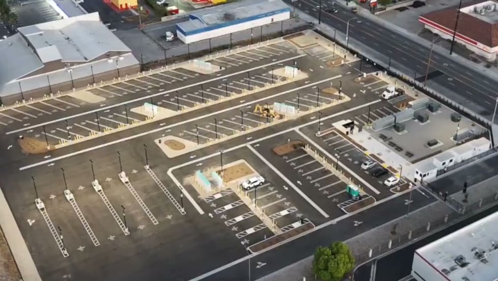
EV Realty Opens Major Truck Charging Hub in California’s Inland Empire
EV Realty’s San Bernardino Powered Properties’ truck charging hub, which has now opened, can serve over 200 medium- and heavy-duty trucks per day.
Read More →
WEX Launches Solution to Close the EV At-Home Charging Visibility Gap for Fleets
WEX unveiled its EV At-Home with Vehicle Fraud Protection, which ensures accurate and secure reimbursement for at-home charging.
Read More →
Toyota Motor Corporation to Join Daimler Truck & Volvo Group in Fuel Cell Joint Venture Cellcentric
Toyota intends to join Daimler Truck and Volvo Group as an equal shareholder in Cellcentric. All three shareholders intend to further strengthen Cellcentric as a leading manufacturer of fuel cell systems for heavy-duty commercial applications.
Read More →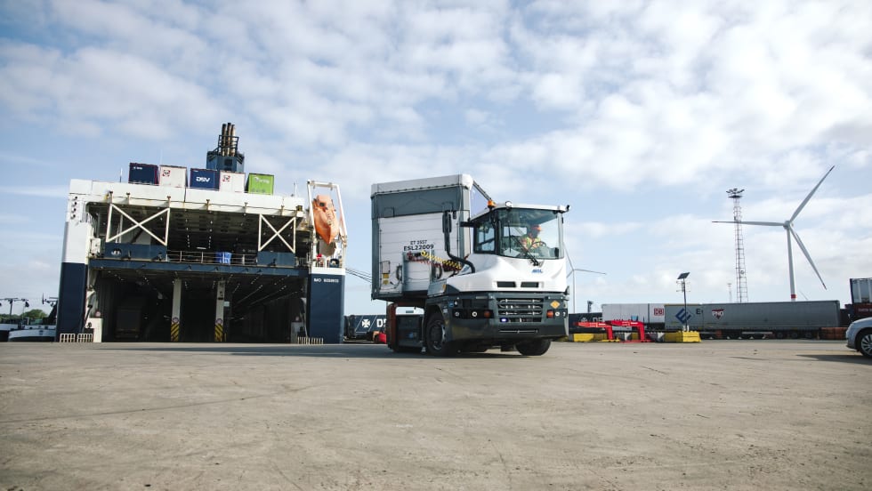
Volvo Penta Electric Drivetrain Powering Terminal Tractors
Volvo Penta and Volvo Financial Services (VFS) have partnered to support one of Northern Europe's largest shipping and logistics companies in its ambition to transition to electric terminal tractors.
Read More →