




Search Engines Offer Maps with Satellite Photos
Google, Microsoft and Amazon.com are offering customers expansive, interactive maps with aerial, satellite and street-level images on the Web.
Google, Microsoft and Amazon.com are competing to offer customers interactive maps with aerial, satellite and street-level photos on the Web. Some say Internet searches could soon have online geography included, according to the San Diego Union-Tribune. Last month Google opened Google Earth, its mapping device that uses satellite images to allow users a to zoom in on the world. Amazon’s A9.com answered back with its Block View service featuring photos of businesses and storefronts taken at street level. Microsoft’s MSN.com will be launching Virtual Earth later this summer that will combine online searches with aerial images and maps. Mapping services and satellite photos were around before, but now users can explore the entire globe while sitting at their desks, according to the report. The free Google Earth download offers a bird’s-eye view of the world, and for $20 a year an upgrade is available through Google Earth Plus. Block View from A9.com shows street-level pictures taken by photographers driving around in trucks, while Virtual Earth will combine search results with images of buildings, streets and landmarks. Online mapping services already attract an estimated 58 million people a month. Yahoo! was the first to offer mapping services, however not with aerial view, and MapQuest delivered satellite images in the past, but stopped because viewer interest fell.
More Small Fleet

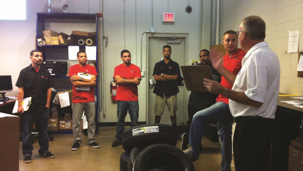
Developing Budget-Friendly Driver Safety Programs
From driver training and safety meetings to one-on-one coaching and incentive programs, several small fleets share how they have developed a safety culture with their drivers using low- to no-cost resources.
Read More →
Boosting Last-Mile Fleet Uptime, Safety, and Value with AI Vehicle Inspections
AI-powered inspections are transforming last-mile fleets by replacing manual checks with highly accurate automated scans that detect defects in seconds. By giving fleet operations visibility into the daily condition of their vehicles, you can identify trends over the vehicle’s lifecycle that enable improved procurement decisions, route management, driver training and accountability.
Read More →
Five Ways Seat Belts Help Prevent Injuries
There are five ways seat belts protect occupants from injuries, according to the Tennessee Department of Safety and Homeland Security.
Read More →
It’s here: The 2026 Fleet Technology Trends Report
What does AI mean for fleets? Get the answer — and learn other top tech trends.
Read More →
Small Fleets, Big Impact: How Independent Drivers Power Wreaths Across America
Check out how small fleets and independent drivers power Wreaths Across America each December and why their impact matters more than ever.
Read More →
VMS Survey Finds 65% of Small Fleet Managers Run Operations Alone
A new VMS survey shows small fleet managers are stretched thin, with most handling operations solo and eager to adopt digital tools for relief.
Read More →
Tips for Driving Safely on Halloween Night
This video features a reminder from the Connecticut Department of Transportation (DOT) and the Connecticut Police Chiefs Association, urging drivers to prioritize safety this Halloween.
Read More →
AI, Access, and Uptime: VMS’s Next Chapter with David Prusinski
VMS’s new Co-CEO, David Prusinski, shares how an AI-first approach will give small fleets and repair shops the tools to compete like big players.
Read More →
Fleet Managers Share Winter Prep Tips: It's Never Too Early!
Three fleets share best practices to prep vehicles for winter and prevent downtime when the cold sets in.
Read More →