



Navigation Technologies Offers a Full Coverage Map of Canada
Navigation Technologies, a provider of digital maps for vehicle navigation, Internet/wireless applications and business solutions, now offers a map of Canada's entire road network. Navigation Technologies' NAVTECH(R) map of Canada provides customers and end users with the map data necessary for turn-by-turn routing into and throughout Canada's 10 provinces and three territories. The fully navigable map offers more 700,000 miles of roadway and 100 percent population coverage. According to Navigation Technologies, the product features up to about 150 attributes -- such as street names, address ranges, turn restrictions, and speed limits -- that help people efficiently route to their destinations. It also offers more than 160,000 points of interest (POIs) in up to 46 categories including ferry routes and national parks. Some cartographic features such as major lakes and rivers are also included in the product. "The effort involved in building the full coverage map was significant," said John MacLeod, executive vice president - Global Marketing & Strategy for Navigation Technologies. "More than 20 field analysts drove approximately 54,000 kilometers of roadway, verifying and updating information. We're tireless in our effort to offer accurate maps that reflect the reality of the roads and that effort is reflected in the products we deliver to our customers." About Navigation Technologies Navigation Technologies creates digital maps that power navigation and location-based services around the world. The Chicago-based company was founded in 1985 and is privately held. The company's approximately 1,300 employees are in more than 100 offices in 18 countries. For more information, visit www.navtech.com.
More Small Fleet

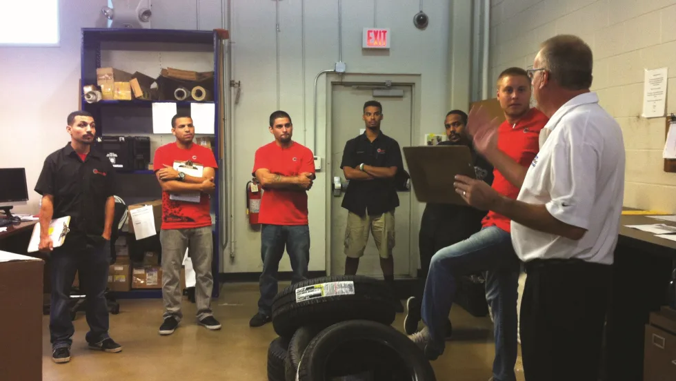
Developing Budget-Friendly Driver Safety Programs
From driver training and safety meetings to one-on-one coaching and incentive programs, several small fleets share how they have developed a safety culture with their drivers using low- to no-cost resources.
Read More →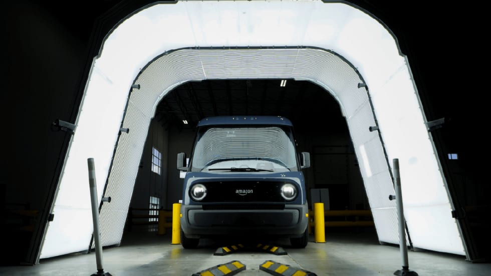
Boosting Last-Mile Fleet Uptime, Safety, and Value with AI Vehicle Inspections
AI-powered inspections are transforming last-mile fleets by replacing manual checks with highly accurate automated scans that detect defects in seconds. By giving fleet operations visibility into the daily condition of their vehicles, you can identify trends over the vehicle’s lifecycle that enable improved procurement decisions, route management, driver training and accountability.
Read More →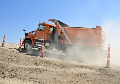
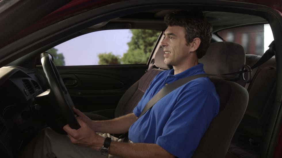
Five Ways Seat Belts Help Prevent Injuries
There are five ways seat belts protect occupants from injuries, according to the Tennessee Department of Safety and Homeland Security.
Read More →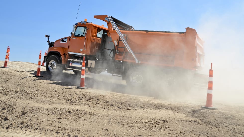
Basic Tracking vs Next Generation Fleet Technology
Fleet software is getting more sophisticated and effective than ever, tying big data models together to transform maintenance, safety, and the value of your existing tech stack. Fleet technology upgrades are undoubtedly an investment, but updated technology can offer a much higher return. Read how upgrading your fleet technology can increase the return on your investment.
Read More →
It’s here: The 2026 Fleet Technology Trends Report
What does AI mean for fleets? Get the answer — and learn other top tech trends.
Read More →
Small Fleets, Big Impact: How Independent Drivers Power Wreaths Across America
Check out how small fleets and independent drivers power Wreaths Across America each December and why their impact matters more than ever.
Read More →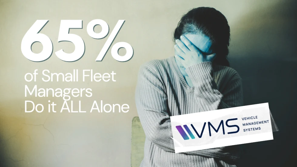
VMS Survey Finds 65% of Small Fleet Managers Run Operations Alone
A new VMS survey shows small fleet managers are stretched thin, with most handling operations solo and eager to adopt digital tools for relief.
Read More →
Tips for Driving Safely on Halloween Night
This video features a reminder from the Connecticut Department of Transportation (DOT) and the Connecticut Police Chiefs Association, urging drivers to prioritize safety this Halloween.
Read More →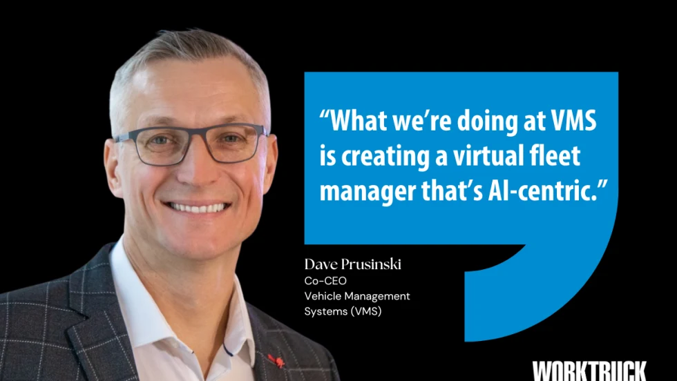
AI, Access, and Uptime: VMS’s Next Chapter with David Prusinski
VMS’s new Co-CEO, David Prusinski, shares how an AI-first approach will give small fleets and repair shops the tools to compete like big players.
Read More →